Your CreekS
bay point
DO YOU KNOW WHERE YOUR STORM DRAINS FLOW?
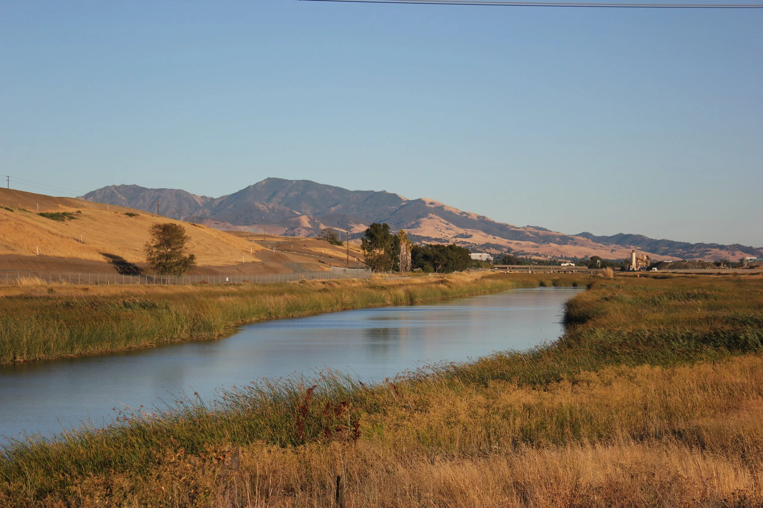
Bay Point, California is situated on the southern shore of Suisun Bay, where the freshwater of the Sacramento and San Joaquin rivers meets the saltwater of the San Francisco Bay Estuary. While the community does not have a large, named creek running directly through its center, it has several unnamed tributaries, culverted creeks and a portion of Willow Creek which receives runoff from several unnamed creeks. Bay Point it is located within the larger watershed of nearby creeks - notably, Marsh Creek, which is in the Oakley area, empties into Suisun Bay close to Bay Point. These tidal marsh systems and channels, such as the one at Bay Point Regional Shoreline, are essential components of the local ecosystem, providing habitat for a variety of plants and animals.
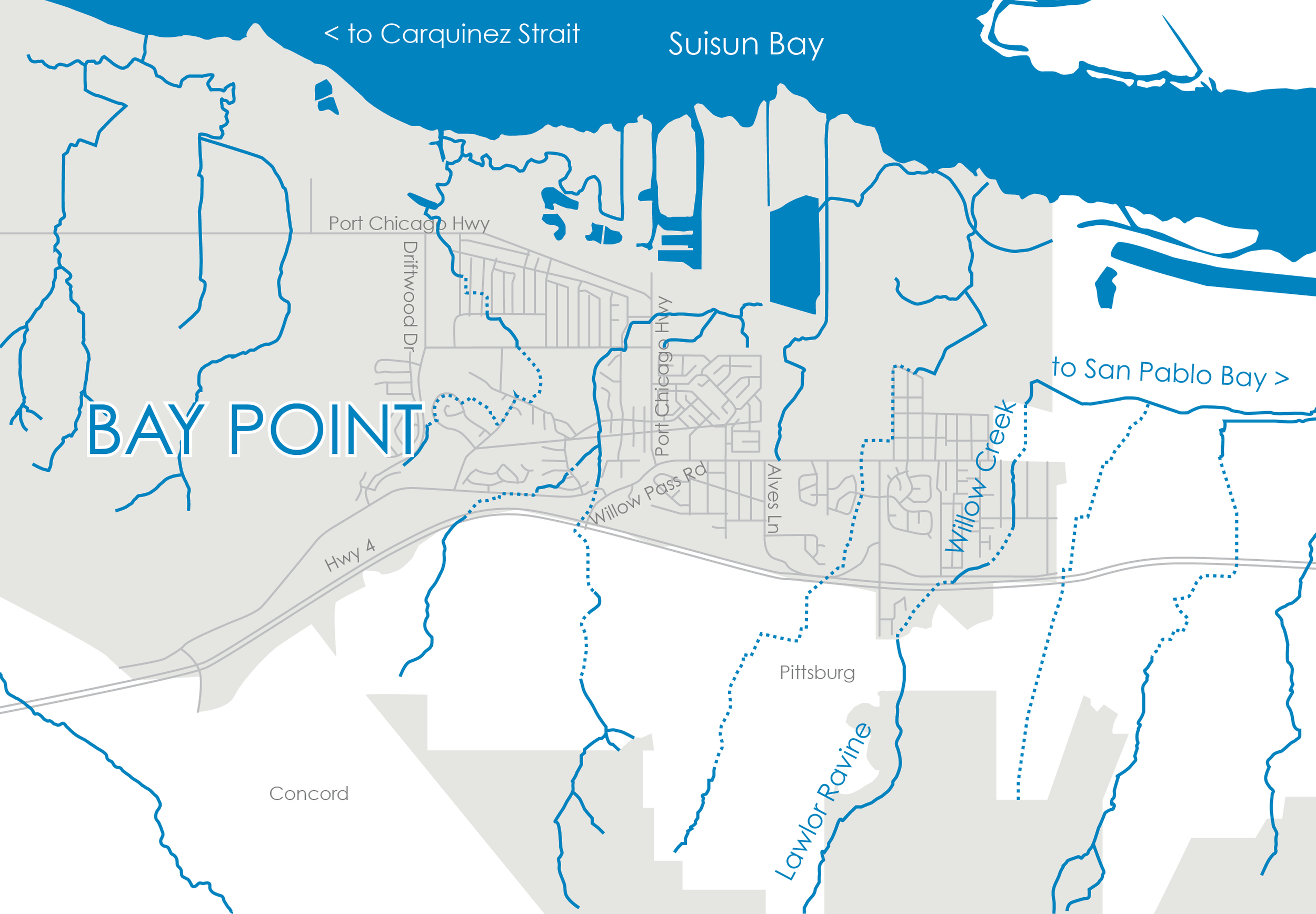

Willow Creek is located in the middle of the Willow Creek and Kirker Creek watershed with approximately 10 miles of unnamed tributaries draining into it in its lower reaches. Efforts have been made to address historical impacts on the local creeks, such as those from 19th-century coal mining, to improve water quality and protect the surrounding habitat. The creeks and waterways in the area play a vital role in the natural landscape and are a key feature of the broader East Contra Costa County watershed.